
June 2026 – we head for Scotland to collect BCQs on Orkney and Shetland.
After our stay in Orkney, we moved on to Shetland, to collect the BCQs there. We disembarked the overnight ferry at about 07:30 and a quick search on Google found a café which opened for breakfast at 08:00. The house we were renting for our stay wouldn’t be available til 12:30, so we spent the morning reconnoitring a few of the BCQs.
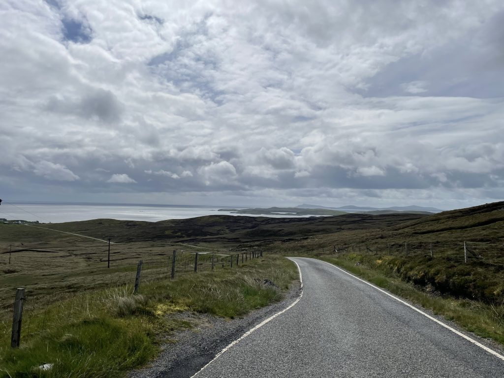
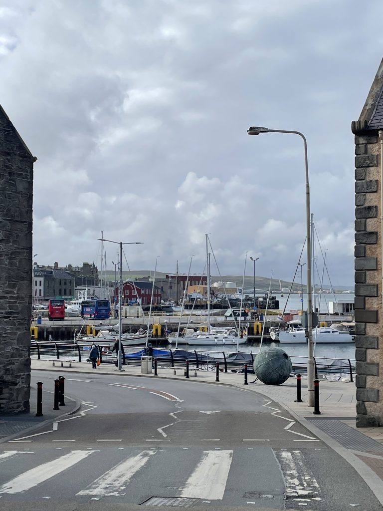
We spent the afternoon settling into our accommodation then walked into the town to explore and find a watering hole.
In Shetland we found the weather to be a lot more unsettled and fickle, so we chose our riding days as best we could, but we still got caught out. It was colder too, and unless the weather was good, Karon wasn’t so keen on long rides. While Orkney seems to be mostly low-lying with the odd higher hills, Shetland is much more up and down. Fortunately, not all the BCQs were at the highest point around, which is often the case in other parts of the country!
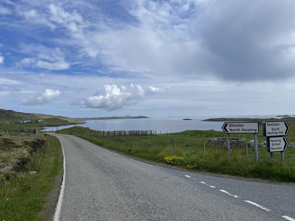
We had already decided to avoid riding on the A970, the main road up the island, as much as we could. It is wide and, without any roadside obstacles like trees and buildings, one can often see a very long way ahead, which seems to encourage motorway speeds by many of the locals so we elected for a relatively gentle start to our Shetland campaign, heading for BCQ 664 which overlooks South Nesting Bay, about 15 miles north of Lerwick. We parked the car beside the A970, at the turn off to South Nesting and followed the undulating, single track road out to Brettabister.
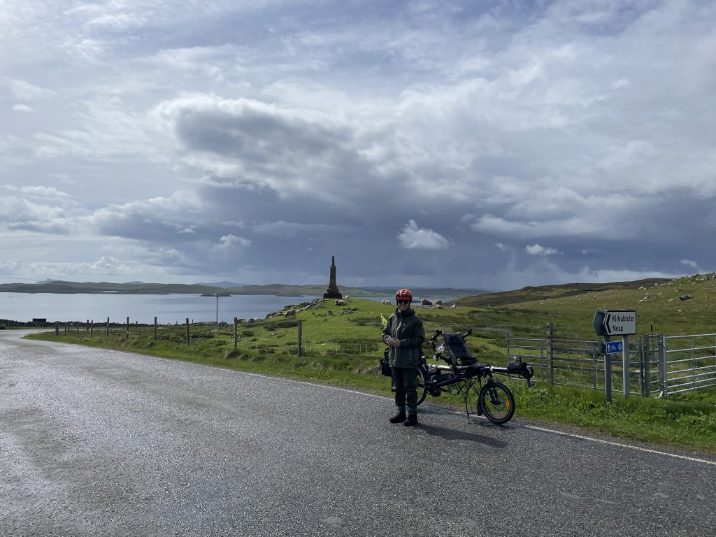
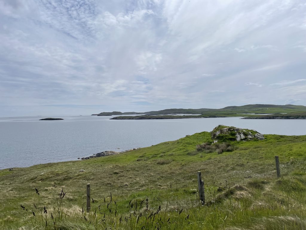
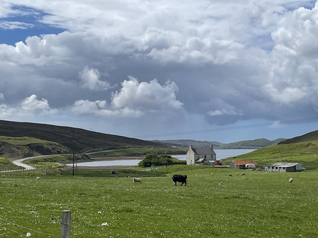
Our next BCQ was probably the least inspiring, certainly on Shetland and Orkney. It was also the furthest north of all. BCQ663 was overlooking a disused airfield and Sullom Voe oil terminal. We parked up at Burravoe, south of Brae and followed the B9076 to the BCQ. A couple of passing showers dampened our spirits a little and we were riding into the wind too.
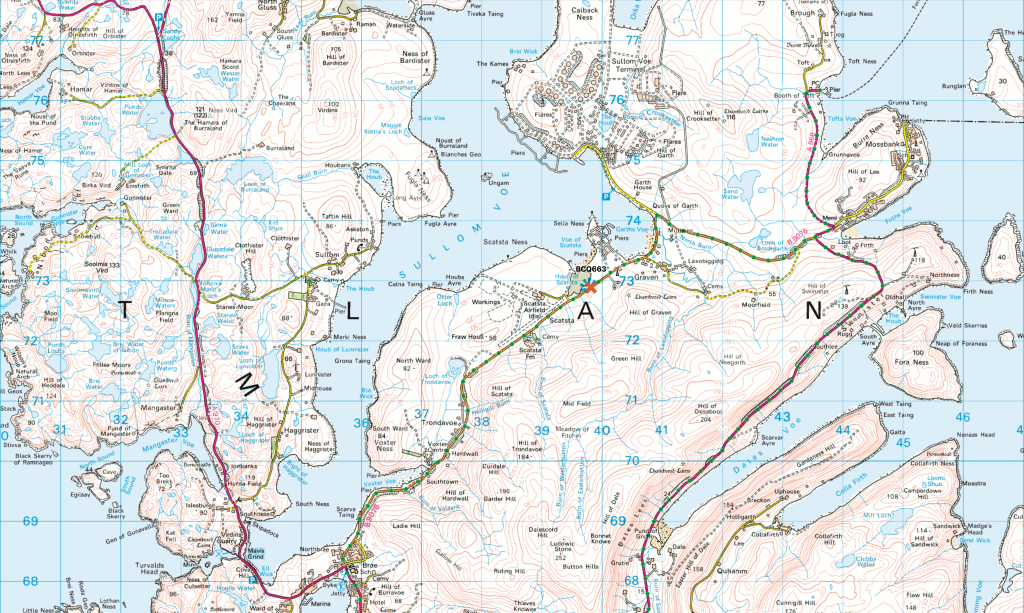
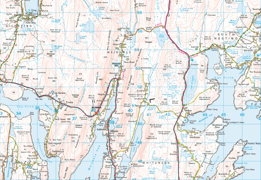
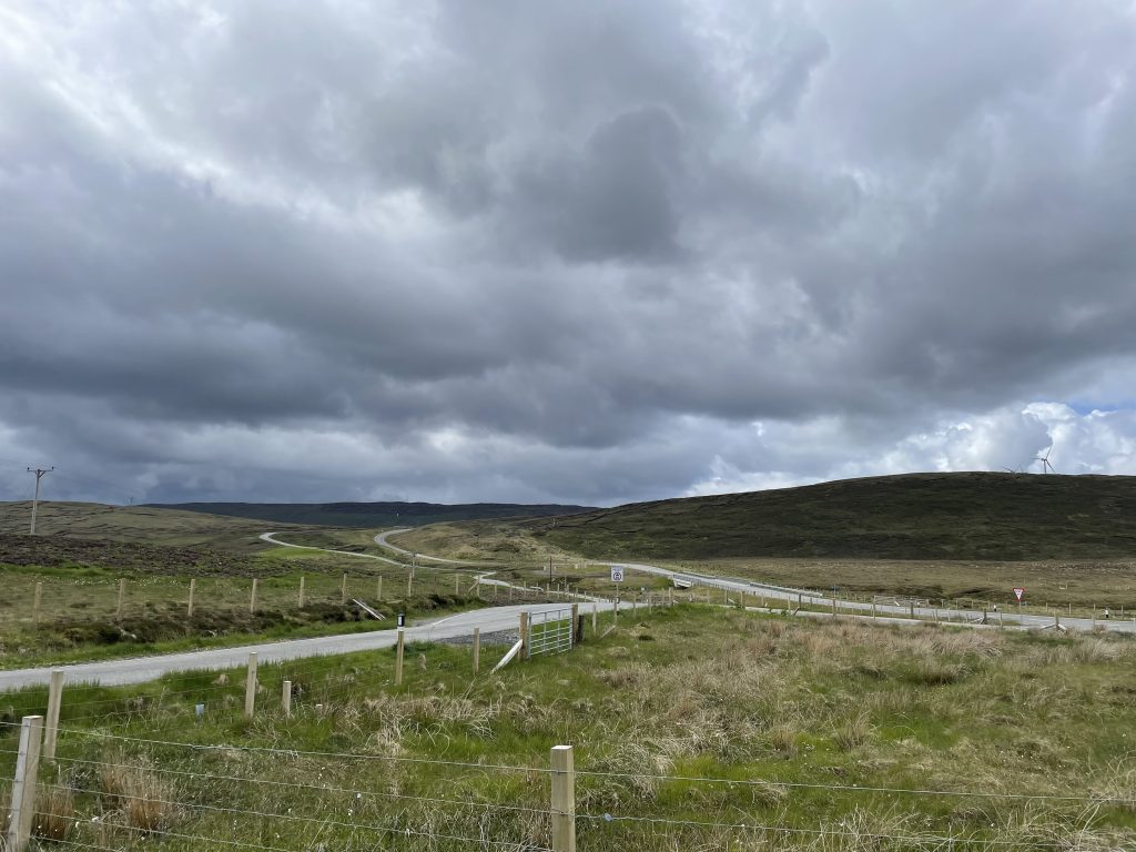
BCQ 666 was a devil to get to. Not really, but it was close to the top of a climb on the A971. I decided to start the ride from the small car park where the B9075 joins the A970, NE of Weisdale and next to Sand Water. There’s a cycle path (the old road) that climbs over the saddle and into Weisdale.
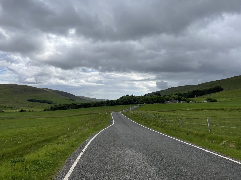
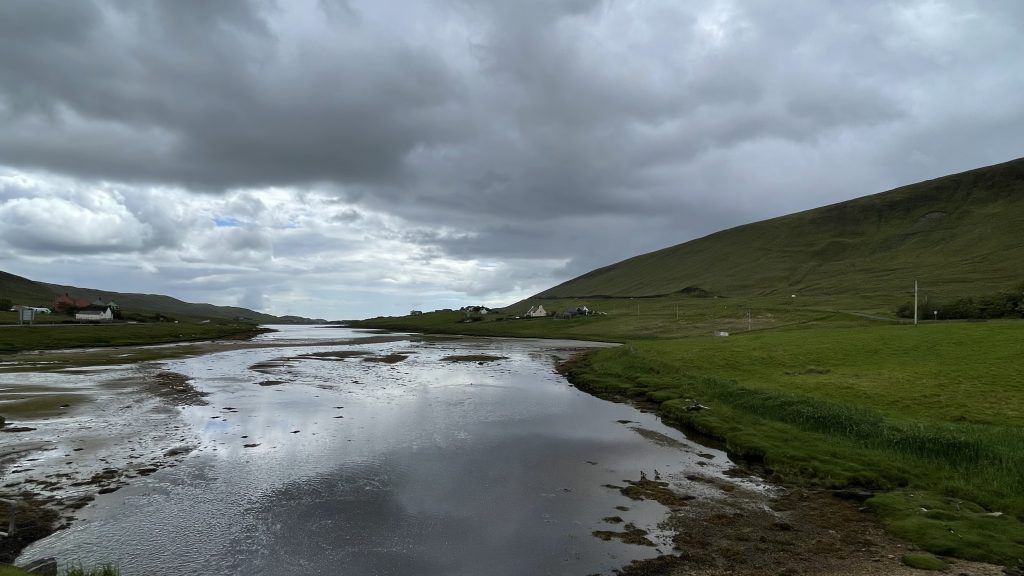
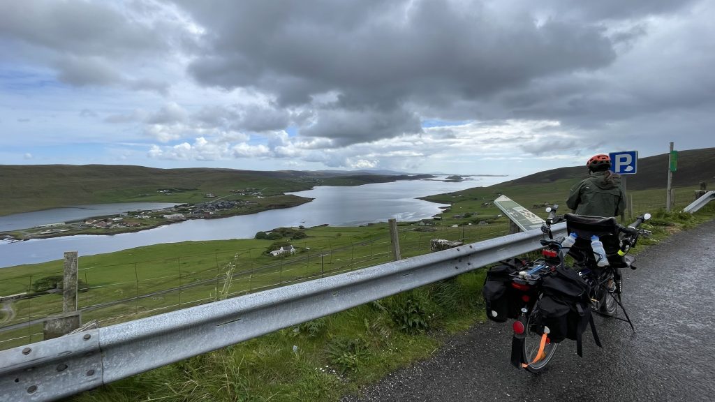
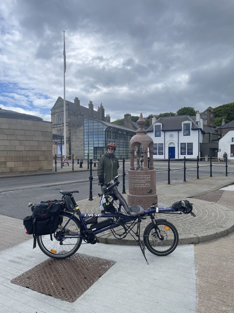
14th June was wet, so we put off any ride and did a bit of shopping. Although the forecast for the following day was better, after a bright, early start, the clouds closed in as we drove south down the island. We were heading for Bigton.
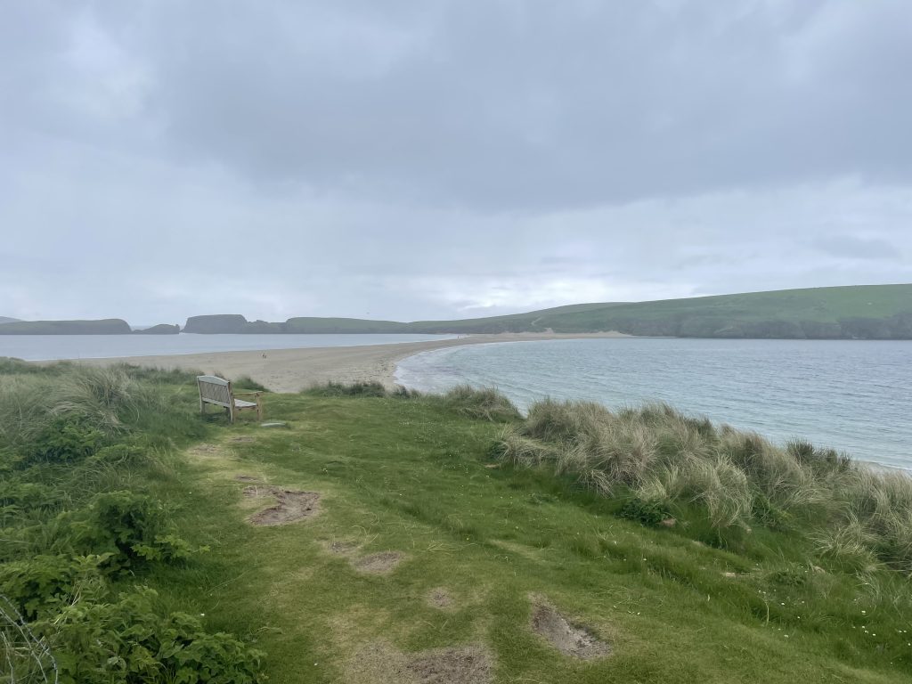
Getting the bike out the car I was starting to have second thoughts, as we would be very exposed for the whole ride. The wind was pretty blustery too. As we cycled down the coast road, we had the odd brighter spell but the rain was never far away.
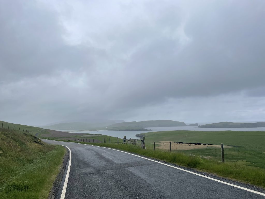
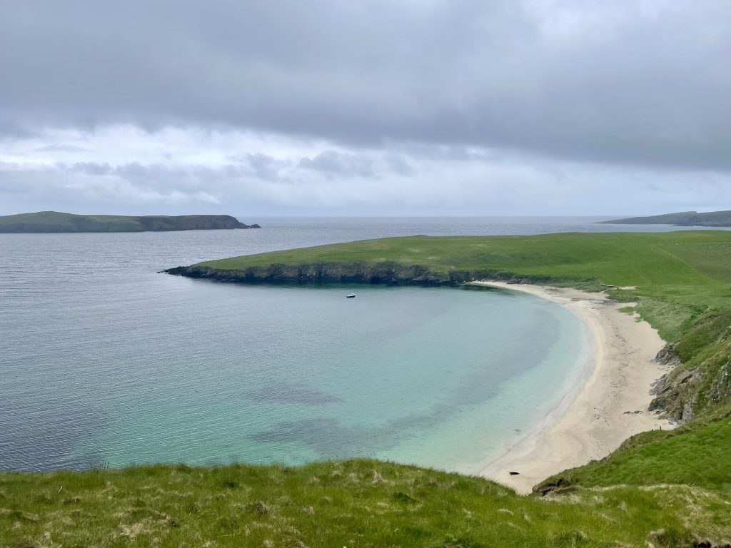
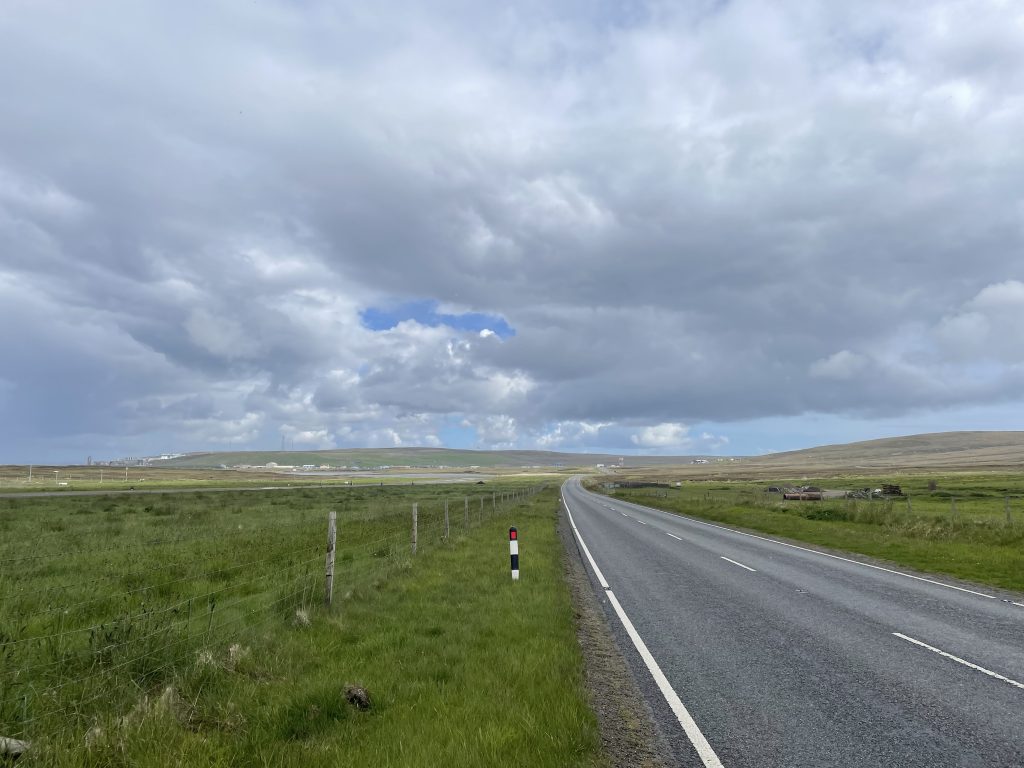
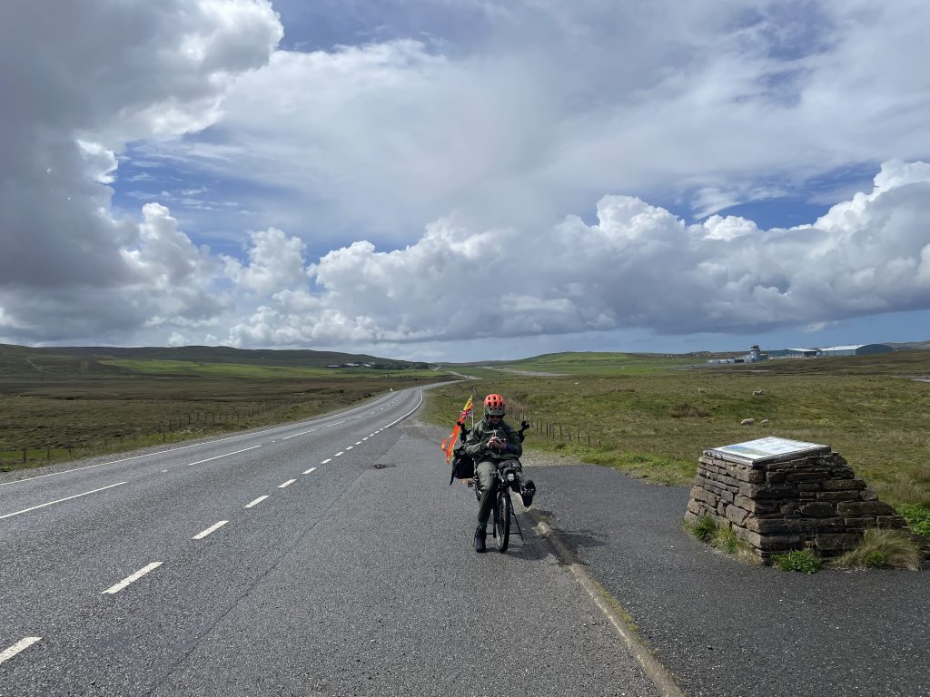
We crested Ward Hill and there below was the airport. I pulled in for a photo then waited to watch a plane taxi to the end of the runway, turn and take off. The road crosses the end of the runway and there are manned posts, barriers and lights to prevent cars mingling with aircraft.
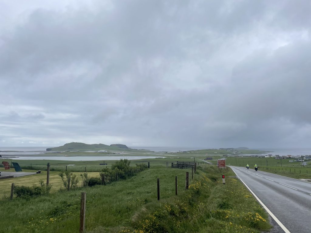
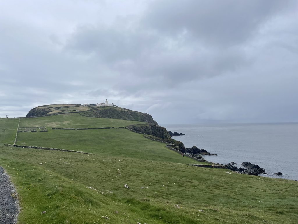
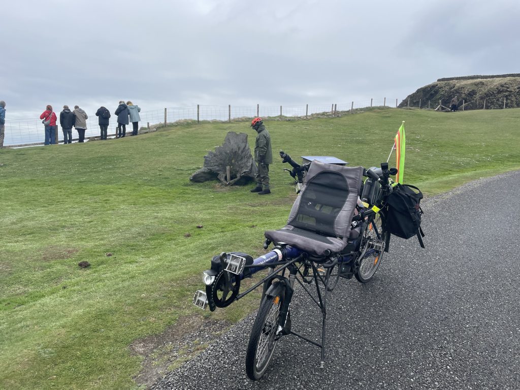
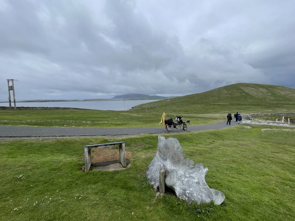
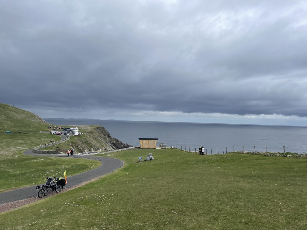
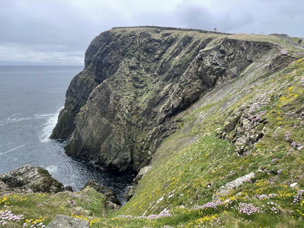
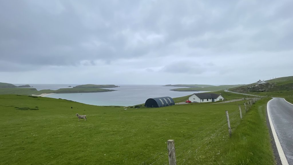
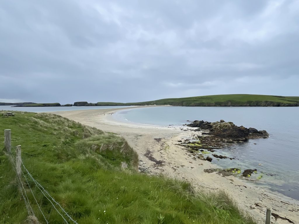
Typically, the following day, the 16th June was lovely, so we took the Pino into town for a wander.
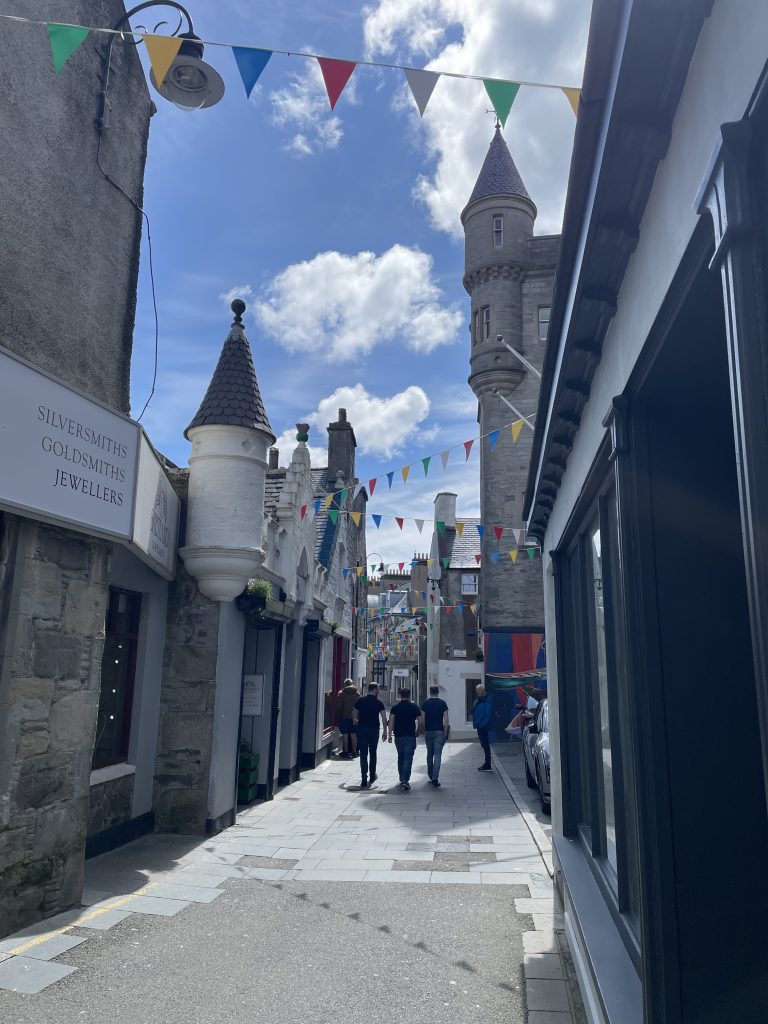
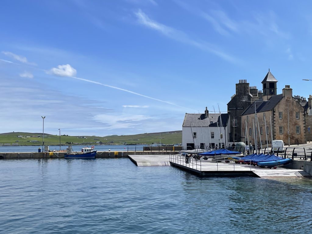
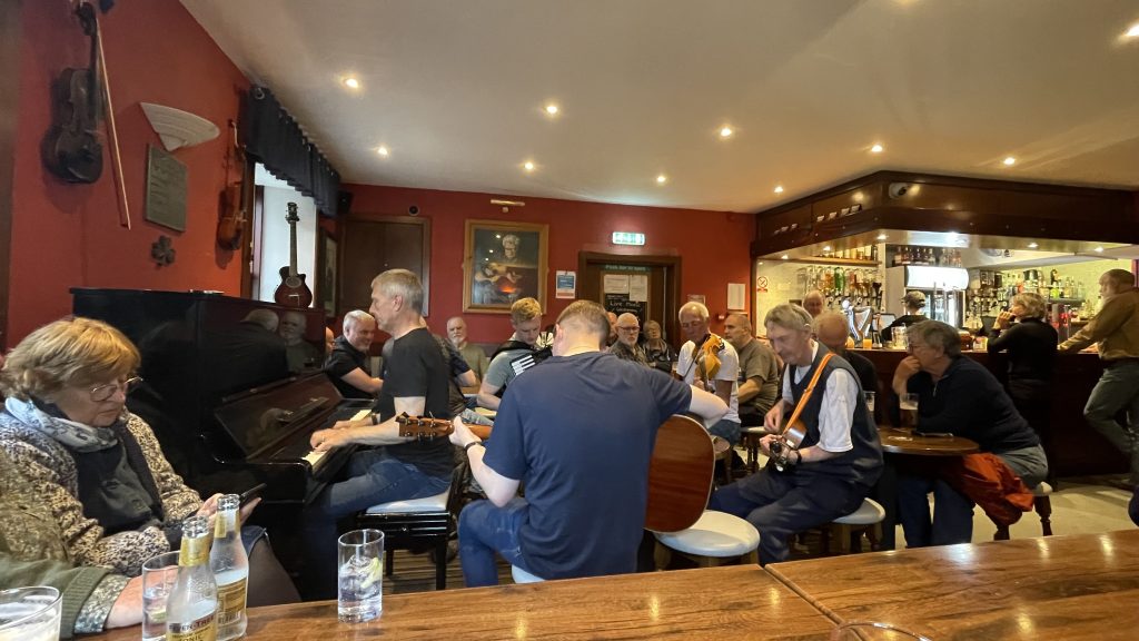
The 17th June was my birthday and by now we were fairly familiar with the various bars along or near the waterfront. In the evening, the Longe Bar had a local jam session so I enjoyed some local brew and local music.
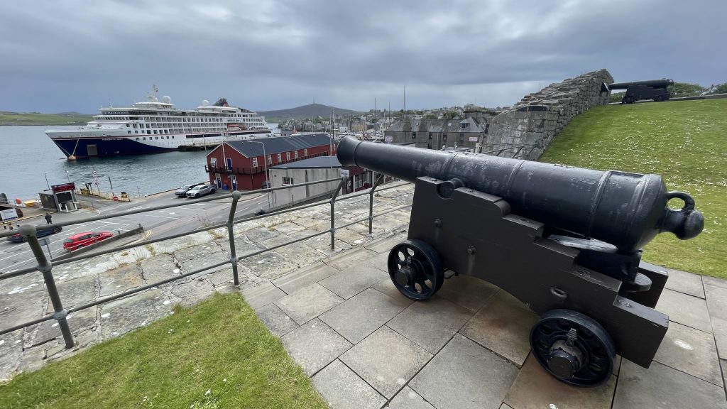
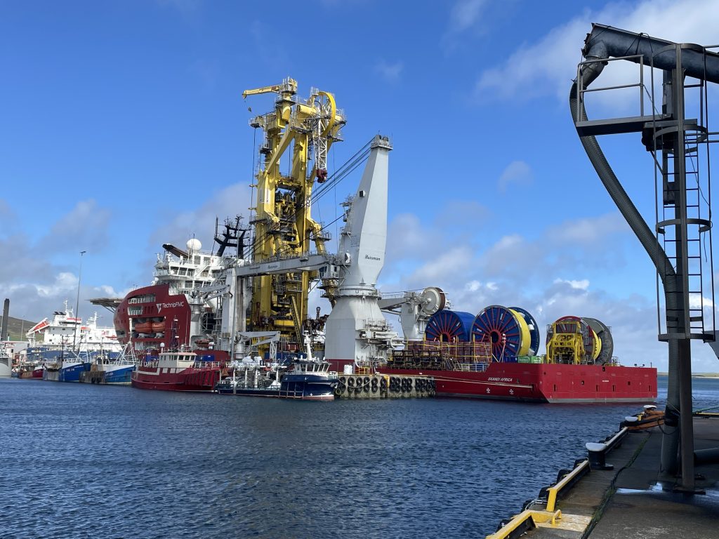
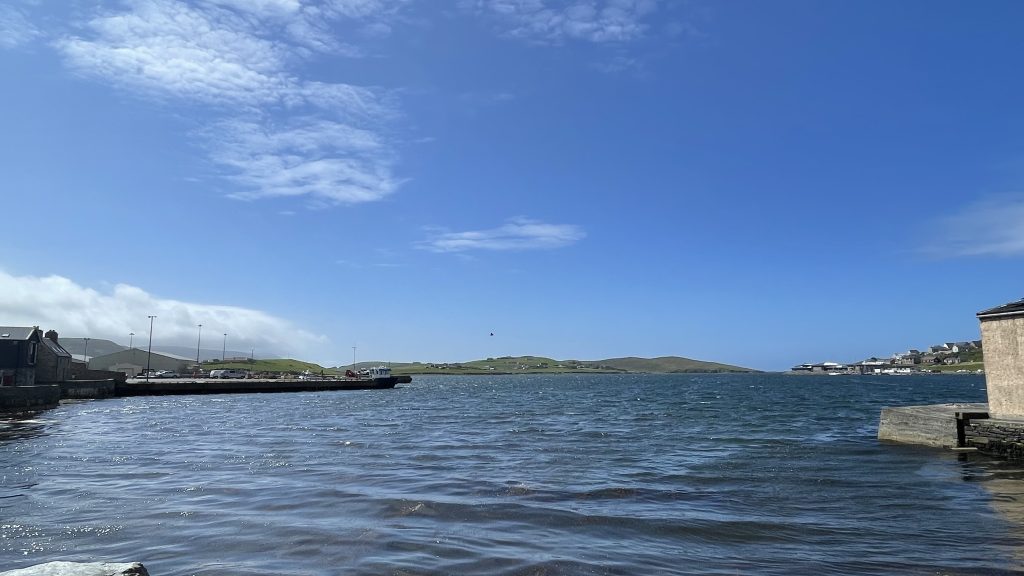
We spent the rest of our time in Shetland exploring by foot in Lerwick and by car further afield.
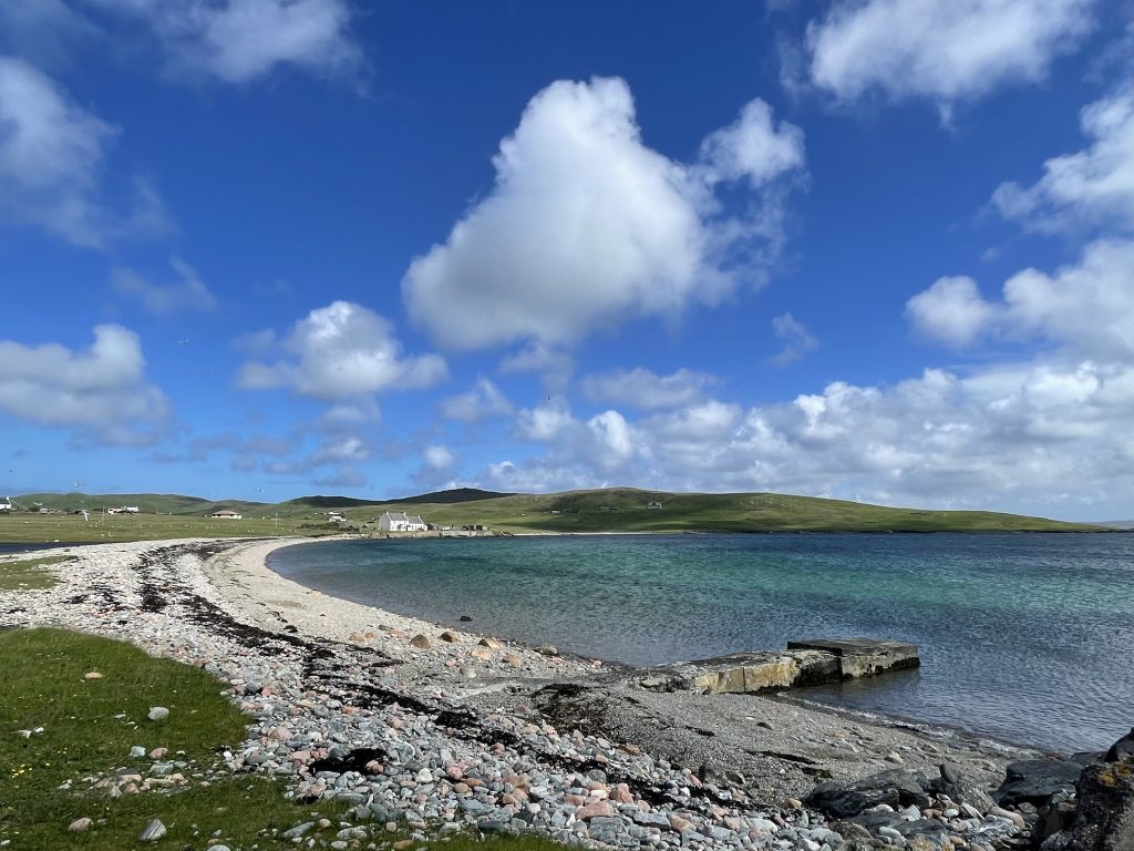
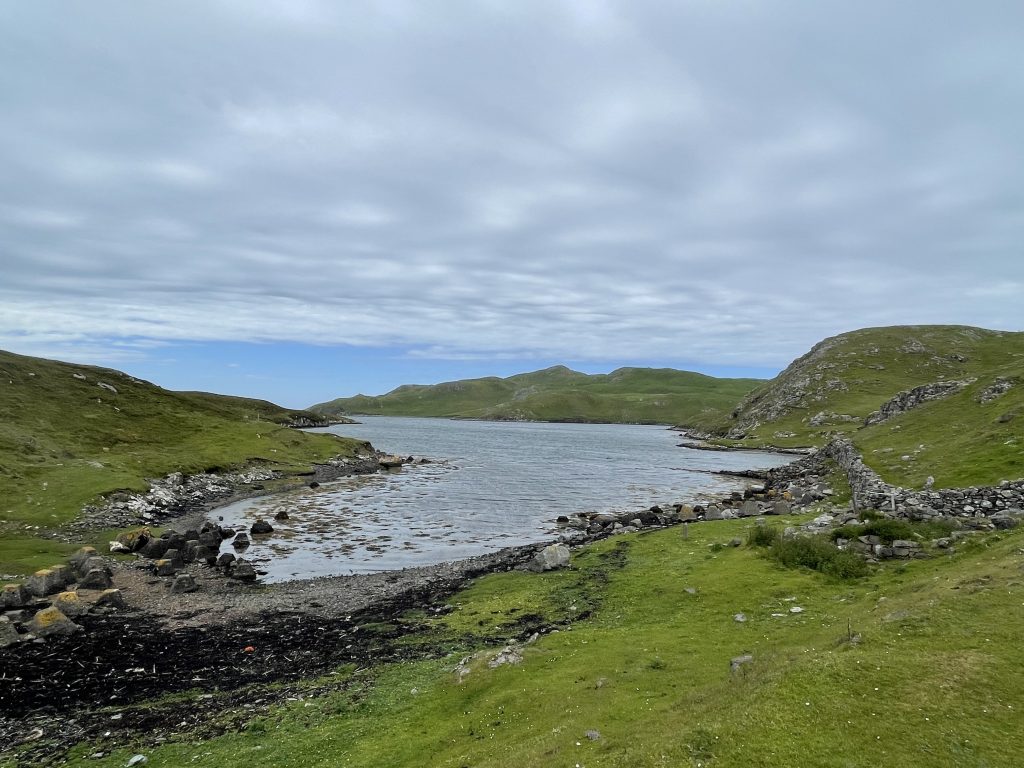
Our time in Shetland had come to an end. We needed to be out of our house by 10:00, so I had partly loaded the car the day before. Our ferry wasn’t until the evening again, for an overnight sailing to Aberdeen. It took a while to load but eventually we were on board, went to the food court for an evening meal, then back to our cabin for an early night.