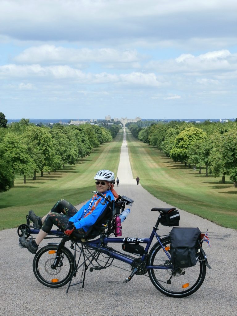
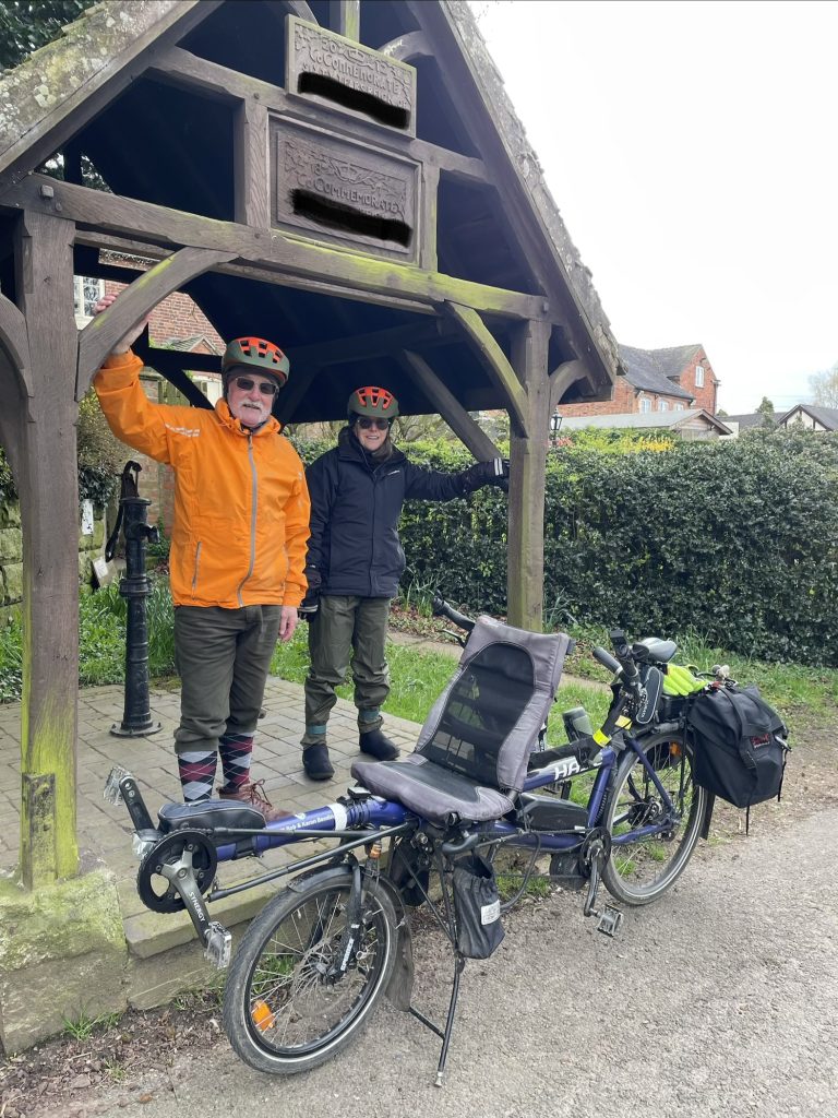
When Karon and I took retirement together, on my 65th birthday, we decided to start collecting BCQ answers. For an explanation, see the page on the Cycling UK website. Logically, we started with the BCQs nearest our home, cycling from home to a few that were within range. We collect all the BCQs as a team, riding to them together, usually on our Hase Pino tandem, but have also ridden solos, though Karon is limited to much shorter distances and easy terrain when not on a tandem.
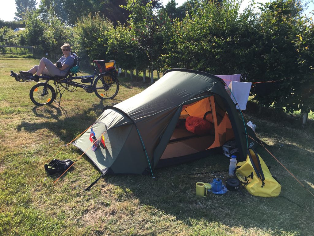
For the rest of Hampshire we went on a mini-tour with camping gear, cycling down the county on the west – Winchester side, collecting BCQs as we went. We took the ferry to the Isle of Wight and spent four days camped there and collected all the BCQs then made our way back home up the eastern side of the county to complete Hampshire and the Isle of Wight.
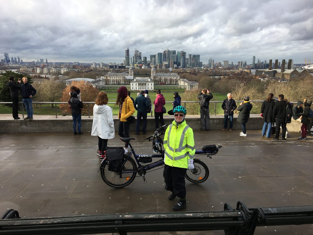
Over the next few years or so, we collected virtually all the answers in the south of England, making car-assisted day trips or stopping overnight in an area. For some of the inner London ones, we took our Brompton’s on the train and used them around the City.
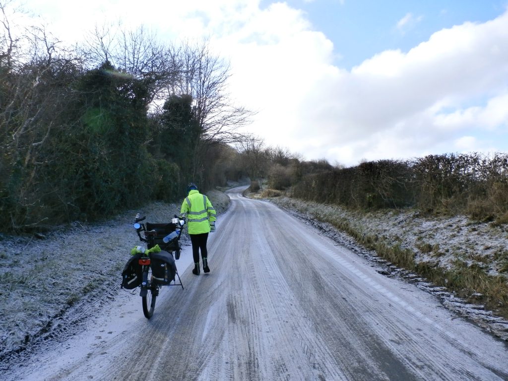
If we are on the Pino, we can ride further and sometimes collect more than one BCQ in a single ride with some careful route planning. Distances primarily depend on time, terrain, and the weather.
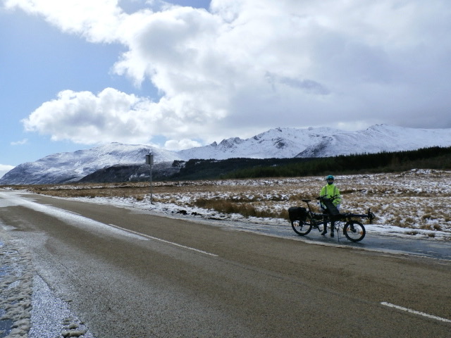
When a family get-together was planned to meet in Edinburgh, we went up early and spent some time collecting some of the BCQs around the west coast of Scotland before making our way to Edinburgh.
Planning and admin
Whenever we take the bike(s) to a new area, I check in advance to see if there’s a BCQ we can collect, even if that’s not the main purpose of the trip. A couple of Army reunions in Hull have resulted in extra days in the area to collect a few. Whenever we attend a Tandem Club Rally in the UK, we’ll modify the routes to take in any nearby BCQs if we can.
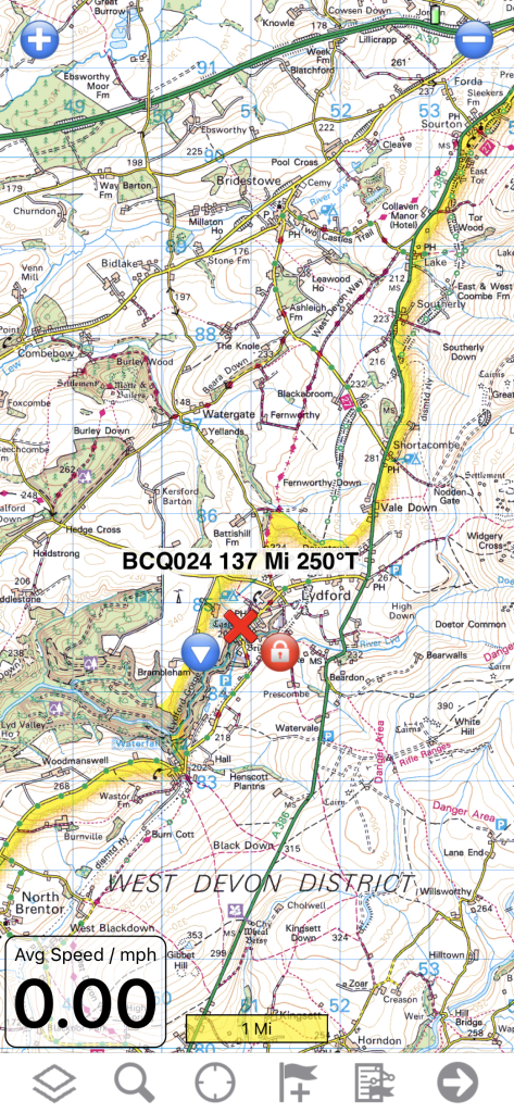
For planning and navigation I use ‘Memory Map’ (OS 1:50k) and RideWithGPS (RWGPS). In Memory Map I can plot individual BCQs and make a note of the question. I could plan a route too but prefer the features of RWGPS. This allows me to receive turn-by-turn route instructions straight from my phone into my hearing aids via Bluetooth.
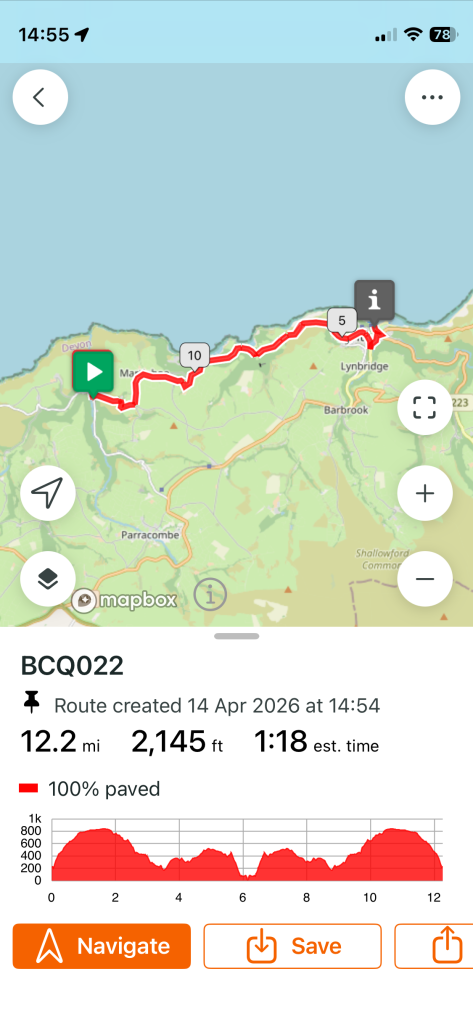
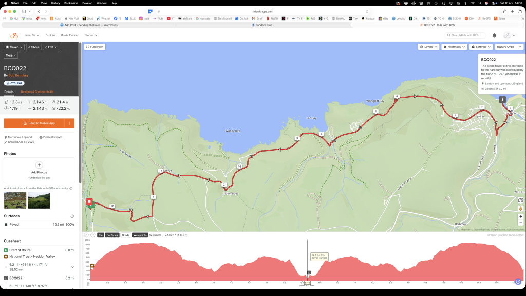
On the right is a screenshot from my RideWithGPS app, showing a route planned from somewhere to park, to the BCQ. This is an ‘out and back’ but other times it could be a circuit.
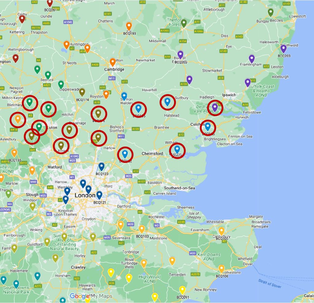
The Tandem Club also has a BCQ table and map on their website, which members can see once they are signed in. This has the advantage, like the Cycling UK map, of being online, so if you can get a reasonable signal, wherever you are, to can see any nearby BCQs. As you check off BCQs in the matrix (not shown), the map updates automatically.
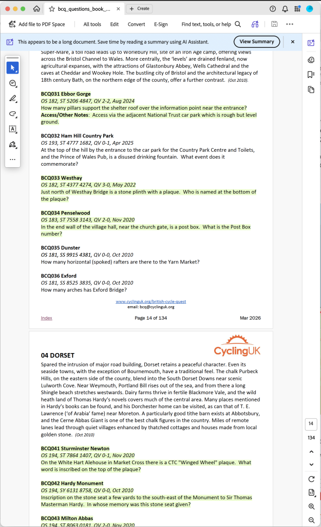
I keep a copy of the Question Book PDF on my mobile and on my Mac at home. The PDF displays almost the same on big screen or little.